
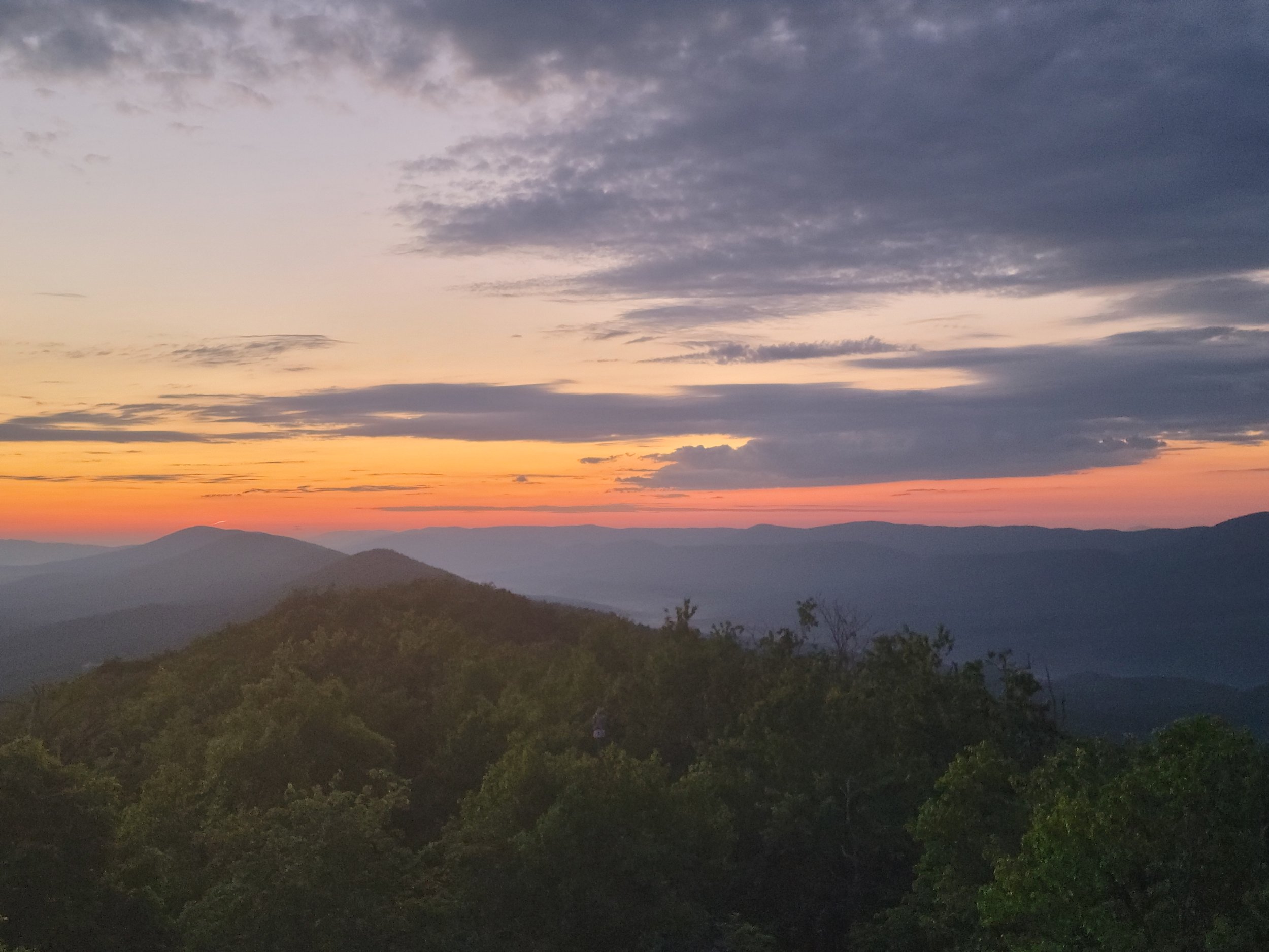
“Why should we West Virginia scouts have to travel to other states to experience the adventure of long-distance backpacking? We have the Allegheny Mountains with all their natural splendor and wildness to rival the Great Smoky Mountains. Why can’t we have a trail like the Appalachian Trail running through the mountains of The Mountain State?” — Co. Founder, Nicolas B. Lozano
Section or Thru Hiking?
Are You Planning to Section
or Thru Hike the ALT?
Hikers can get a certificate of completion once they send in the completed ALT registration form below. (Section hiking is completing the trail on various trips, where Thru hiking is doing it all at once).
Before you start your journey, please register with the link below. This helps us track usage, determine maintenance needs, gives you the latest trail updates and will help with YOUR safety in the event of an emergency.
We are happy to connect you with previous ALT Thru hikers and our staff to help you plan your trip or answer questions you may have.
Reach out and let us know how we can help make you ALT hike a success! Please email info@wvscenictrails.org.
Happy Hiking!!

WV Scenic Trails Association
The WVSTA is a volunteer led non-profit organization that oversees multiple trails in West Virginia including the Allegheny, Mary Ingles, and Great Eastern trails.

Become a Trail Partner
The Allegheny Trail is only possible through WV Scenic Trails Association working with partners across the region. Since the beginning, WVSTA has worked with land managers to build a trail that benefits the local area in addition to providing impact at the regional scale.

Adopt-A-Trail
Have a favorite section of the Allegheny Trail?
There’s no better way to give back to the trail for all the good outdoor experiences it has offered to you, than by caring for that segment.

Love to Hike?
You can become a contributor to our cause by volunteering! Volunteer workers (with crucial assistance from U.S. Forest Service and State Park staff) maintain all 4 sections of the Allegheny Trail.
Thru-Hiking
Planning to hike the entire Allegheny Trail? Let us know!
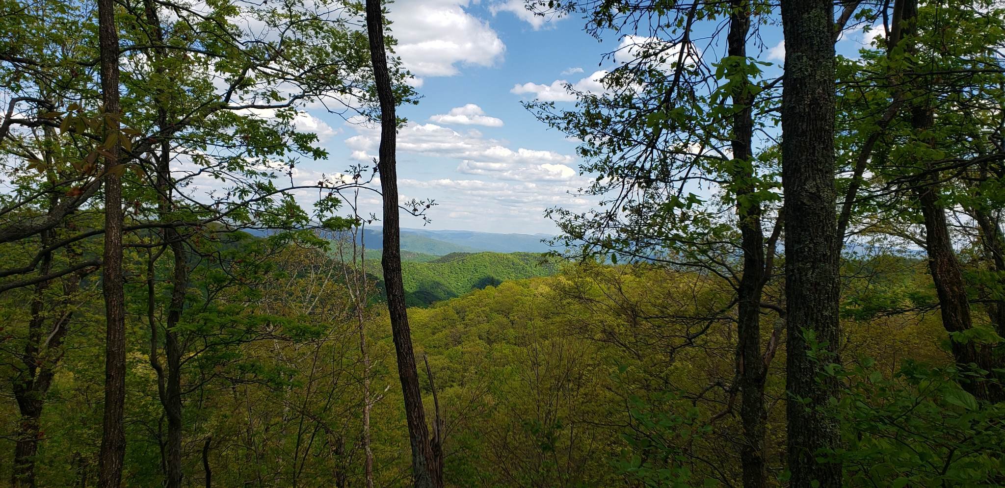
Sections
4
Miles
300+
Passing Through
Counties
8
States
2
State Forests
2
State Parks
4
National Forests
3
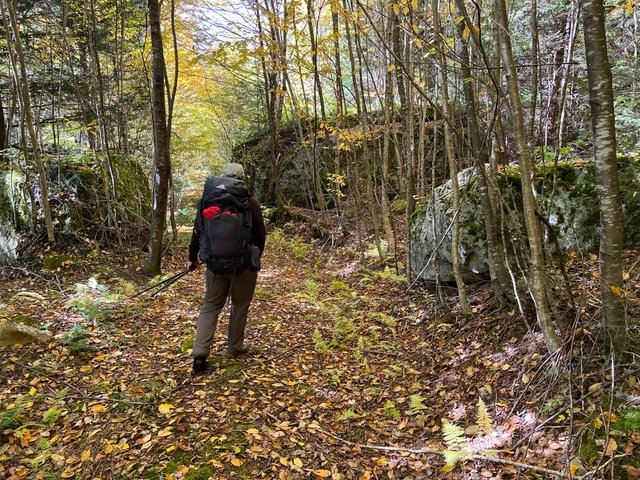
Sections of the Allegheny Trail
The Allegheny Trail, for maintenance purposes, is divided into four "sections," described briefly below and in detail in our "Hiking Guide."
Each trail section has a designated coordinator to monitor trail conditions and manage volunteer activities.
-
Section 1
From
Mason-Dixon Line (Pennsylvania/West Virginia Border)To
Blackwater Falls State Park95.10 mi
-
Section 2
From
Blackwater Falls State ParkTo
Cass Scenic Railroad91.8 mi
-
Section 3
From
Cass Scenic Railroad parking lotTo
WV Road 14 at Lake Sherwood in Greenbrier County64.26 mi
-
Section 4
From
Lake Sherwood to Peters Mountain at the West Virginia/Virginia borderSection 4
is currently incomplete.Sect. 4 North (15.63 mi)
Sect 4 South (21.02 mi)
FarOut App
CHECK US OUT ON THE FAROUT APP!
Get access to maps, waypoints, and trail data from wherever you are while supporting us in the process.
